Learning from the Past to Predict the Future: Validation of the Spruce Budworm Disturbance Model in Northwest Maine
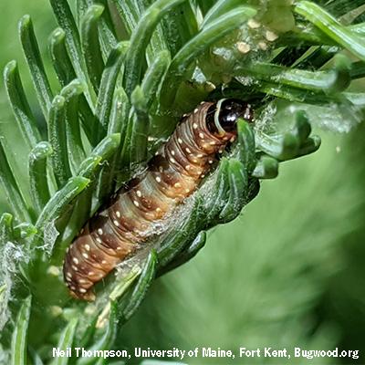
Spruce budworm is the foremost disturbance agent of spruce-fir forests of the northeastern United States. The last major outbreak of this defoliating insect in Maine occurred in the 1970s and 1980s and killed millions of acres of spruce-fir. To project future impacts, managers face the challenge that outbreaks are affected by factors that are also changing through time, such as forest conditions and climate. They need a more up-to-date forest-insect model that incorporates the latest scientific findings and technological advances in forest landscape modeling.
NSRC researchers developed a spatial model of spruce budworm disturbance, which captured interactions between forest conditions and outbreak patterns. Researchers used remote sensing of historic forest conditions and contemporary defoliation impacts to improve the ability to define and project outbreak patterns in time and space.
They applied remote sensing to archived imagery and plot data to reconstruct the forest landscape conditions of northwestern Maine circa 1975, including differentiation of fir and spruce content and age class and estimation of uncertainty in host distribution. The budworm-forest landscape model captured the range of budworm cycling behaviors observed across its range and realistically represented growth and mortality of trees in response to defoliation. Researchers continue to develop and evaluate the model and plan its validation within the northwest Maine landscape. Defoliation mapping techniques applied to conifer-feeding budworm systems in the Lake States are now being generalized for the gypsy moth caterpillar further east. Landscape modelling and remote sensing will continue to improve our ability to define and project outbreak patterns and to inform land management decisions.