Testing the Value of High Resolution LiDAR Data for Assessing the Structure and Integrity of Forest Canopies That Influence Tree Health, Insect Populations, and Bird Habitats
Light Detection and Ranging (LiDAR) is a remote sensing technique that directs pulses of light from an aerial sensor to the earth’s surface and records timing and intensity of reflected pulses back to the sensor. The resulting LiDAR point cloud shows great promise in representing three dimensional forest canopy structure and complexity. NSRC researchers tested LiDAR data for use in assessing insect and bird diversity and abundance as measures of forest biodiversity.
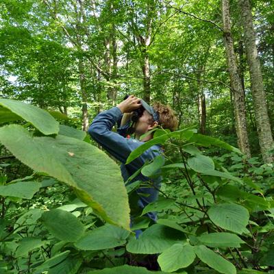
High-resolution LiDAR data (flown summer 2009) were acquired for the Hubbard Brook Experimental Forest in New Hampshire. Researchers collected ground-based measures of forest canopy structure, forest health and productivity, and insect and bird diversity and abundance on 36 50-meter-radius plots throughout Hubbard Brook during summer of 2012. Tree measurements included: percent tree crown and understory closure, yearly tree growth, and leaf nutrient assessment, among other measures. Researchers collected branch clippings and bird counts to estimate insect and bird abundance and diversity. They then assessed relationships between four LiDAR categories of forest canopy structure and the ground-based measurements.
Researchers confirmed that LiDAR can accurately model forest canopy vertical structure. They also found that LiDAR corresponds with some measures of forest health and productivity and insect and bird abundance and diversity but not others. LiDAR’s accuracy is dependent on the agreement of spatial scales between LiDAR and ground-based measure, as well as the method used to classify the raw LiDAR data into meaningful structural categories. The techniques used in this study could easily be applied to other areas of the Northern Forest to help quantify, conserve, and manage biodiversity.