Tracking Parcelization Over Time: Updating the Vermont Database to Inform Planning and Policy
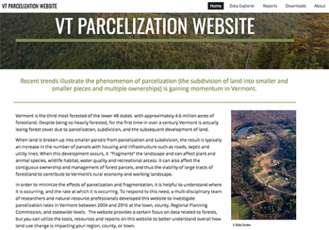
Parcelization, the breaking up of land into smaller and smaller parcels, typically occurs through subdivision. Subdivision, and subsequent land conversion and development, can negatively affect plants, animals, wildlife habitat, water quality, recreational access, and forests’ ability to store carbon. Increasing parcelization and subdivision can affect contiguous ownership, management, and viability of forest parcels and reduce their contribution to the working lands economy. While subdivision and conversion pressures have been identified for decades in Vermont, there has been no systematic way to track trends to inform planning and resource management.
NSRC researchers tracked and analyzed parcelization trends on private land in Vermont by using Grand List (tax) data and Use Value Appraisal Program data from 2004 to 2016. Researchers established a database of parcels, compiled by size class and other metrics, with a focus on large parcels and forestland. They created a website to examine parcelization trends at town, county, regional planning commission, and state levels.
The amount of land in parcels 50 acres and larger and the number of those parcels are decreasing, while the acreage and number of parcels under 50 acres are increasing. Residential acreage is increasing, while farm and woodland acreage is decreasing, with woodland parcel acreage decreasing the fastest. The per-acre value of land nearly doubled during the study period, though increases varied depending on location. The Use Value Appraisal Program does play a role in maintaining undeveloped woodland parcels. This project provides a method for aggregating parcel data and offers a replicable approach for other states to track parcelization trends if they collect similar data.